

Mountain Specific Weather Forecast Resources
MWIS | Met Office | Windy | The Mountain Guide
Weather in the mountains in the UK can be very changeable and vary greatly with height. A large part of our planning at AP Mountaineering is considering the weather. What is forecast for our day, not just low down in the valleys but up high on the mountain tops.
We are lucky enough to have specific mountain weather forecasts in the UK. Have you ever been out in the mountains, having checked your mobile phone's weather app and noticed it matched the weather at the bottom of the mountain or in the town nearby, but the weather differed once you were on the mountain? These apps are usually forecasts for low level, towns and cities, not designed to deal with mountain weather.
So why not check out some specific mountain weather forecasts to help you plan for your adventures? You will find these below, but first, we’ve put a few useful questions to consider when planning your day around the weather.
How many Mountain weather forecasts should I look at?
We often use a couple of forecasts at least. This way, we can see if they are matching up against each other and gives us a better idea of the forecast. We often start with a general overview forecast and then focus on more specific detailed forecasts.
Are Mountain Weather Forecasts accurate?
Weather Forecasts are just that, forecasts. They are predictions of what future weather will be like based on simulation models and statistics of similar weather patterns. Over time, these computer simulations have improved and become ever more accurate, but they are still predictions. Mostly, they are great and give us a fantastic idea of what to expect. However, you may find when out in the mountains, the wind is not as strong as predicted or more rain comes through earlier, later or even heavier than expected. So still pack appropriately for all weathers! See our Kit List for tips.
When should I check the mountain weather forecasts?
Mountain Weather Forecasts can change rapidly in the run-up to your planned activity day in the UK. It is worth looking at forecasts right up until the night before and even the morning of your adventure. Due to the nature of quickly changing weather in the UK and particularly in the mountains, these forecasts can change right up until the last minute depending on how often they are updated / published. We often check forecasts starting just a few days before heading to the mountains, and very rarely do we plan anything specific much more in advance, as it can often change anyway.
Can I use an APP to check my Mountain Weather FORECASTs?
Yes! Plenty of the forecasts have an app. And apps are great. Quickly accessible on your phone on the go and mostly easy to use, but there is also a lot more extra useful information available on or through the websites. So, when you have time, look around at the features available on the website and in the app and see what other information is available.
Where can I find Mountain weather Forecasts?
We wanted to make it easy for you to find various mountain weather websites for your planning, so we have listed some of the available options with a bit of information on each below. Each has links to the site in the header so go have a look around them.

MWIS Weather Descriptions - A great feature to give you an idea of how it will feel on the mountain
[Screenshot - Mountain Forecast App]
MWIS provides forecasts specifically for mountainous areas of the UK.
These forecasts are great for getting a good overview of the weather in a whole area, such as the West Highlands. The forecasts are written rather than just a table of numbers and each forecast is broken down into; ‘How windy? How Wet? Cloud on the Hills? & How Cold?’.
For each section a description of how an aspect of the weather will be or feel to you on the mountain. For example in the screenshot it describes wind effect on you ‘Buffeting and strenuous walking in places where exposed on higher terrain’
This description can be handy, especially if you are new to looking at mountain forecasts and haven’t yet built up experience of what an aspect will be like for you in the mountain environment. In the above example, for instance, the wind speeds. In the mountains winds are often higher and increase with height gain. Without experiencing those windspeeds, it can be difficult to understand what exactly that means for you as a walker and MWIS does a brilliant job of making forecasts relatable to you, the Mountain goer.
MWIS - Youtube
MWIS also have a YouTube channel which is great for planning. They release ‘Fleeting view for the week’ & ‘Planning Outlook’ Videos which are like your TV weather reports but focus on the mountains and are great to watch to help you start your planning before honing in on the finer details nearer the time of your adventure.
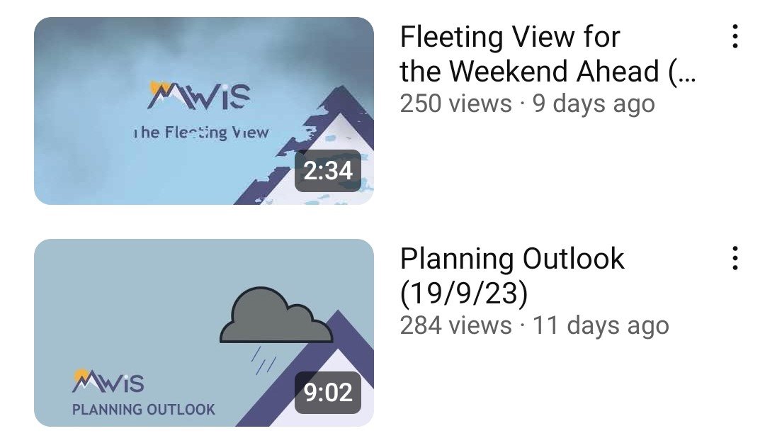
MWIS YouTube videos are great for planning ahead where to go on your next adventure

Met Office App screenshot showing a few of the features. Scrolling down will also give you wind, visibilty etc.
In the centre is the link mentioned to the area forecast of which the table below is part of.
Met Office is the national meteorological service for the UK. It creates forecasts for the UK, be it towns and cities, to specialist forecasts such as mountains, coast and sea and even Space weather!
From a mountain forecast point of view there are similar regional forecasts offering an overview of the UKs main mountainous areas. These offer a similar text-based forecast with information on how this will affect you while out in the mountains as well as an additional table of wind and various heights: Glen, 300m, 600m, 900m & 1000m / 1300m. These wind speeds are also shown for various times throughout as well as height.
However, this feature is not available through the mobile app and is purely on their website. It appears if you save a mountain forecast in the app, there is now a link to the relevant area page at the top of that mountain forecast.
Specific mountain forecasts. E.g. Ben Nevis summit, beinn ime etc

Met Office Website - View of mountain forecast showing wind speeds at various heights.
Met office has specific forecasts for mountain summits. This means once you’ve narrowed down your area, you can have a look at some of the summits in that area to see what the weather is forecast to be there. These are weather, wind speed & visibility, among other things and are shown in a table with times throughout the day (times change to hourly when you are looking a day or 2 in advance and spread out when you are looking further into the future). This is great for really getting a good idea of what the weather in a specific location is forecast to be.
Rainfall
There is also a rainfall map in the app. This gives a superb visual forecast of what rain is predicted for up to the next 5 days, as well as what has fallen in the last 6 hours.

Windy.com app screenshot
Windy is another great tool for us to use, especially if you are a visual person. It is well worth playing around with it to see all its cool features.
It effectively shows the wind speed and its direction of movement, changing colour the stronger the wind is. In the screenshot from their app, the purple area shows the strongest wind with green and blue areas being less windy.
Click the play button, and it will show the wind speed developing. This then moves the time forward and along with the weather patterns giving you an idea of what is expected to happen over the coming hours and days.
It isn’t just wind, though; the site has so many features: rain, temperature, clouds (at various heights), visibility and plenty more. I even found radiation levels in there somewhere!
Settings
You do have to get used to and adjust a few settings; for example, wind speed shows in knots, MPH & M/S.
Adjusting for Height.
One of the great things about the website and the app is you can adjust for various heights. In the picture, this is set at 900m rather than the base zero. This gives a good insight into what speeds will be at varying heights rather than just at ground level.
The Mountain Guide

The Mountain Guide - Weather section. More information is below when you scroll down.
This one is a new website to us and recommended by a friend but what a great resource. It is not a dedicated weather website and the weather section piggybacks off of the Norwegian site YR.no (see below) for its weather information.
It is actually a website of mountain peaks in the UK, split into the four individual countries. Each country is split by Mountain range, Mountain lists e.g. Munros, Grahams, etc, and also by region. Therefore, you can find most hills and mountains you are looking for. On each of these, it has some information about the mountain as well as a weather forecast specific to it.
This is a great feature as it allows us to pick smaller hills and mountains. This is great for anyone heading to those smaller hills and mountains. Rather than relying on forecasts for higher mountains in the area as with Met Office’s Mountain-specific forecasts, for example. This gives us an idea of the weather in that particular area and at the height of your chosen peak.
Limitations of YR.no
The limitation here is that, as mentioned, it Piggybacks off YR.no for its data. This site is based around forecasting for Norway & Scandinavia, which is their priority, and it is funded by the Norwegian government to do so. Therefore, they can put more resources into increasing the accuracy of their forecasts for Norway, as Met Office does for the UK. This means the data points for the rest of the world are much further apart and without extensive post-processing / statistical corrections of the model used. It is purely model predictions. This means areas such as coasts and mountains can suffer in the forecast.
For example; when we looked the wind speeds were significantly lower than predicted for summits by UK forecasts such as MWIS & Met Office.
ADDITIONAL INFORMATION:

Mountain Biking
Join us and try out Mountain Biking…

Navigation
Find out more about our Navigation courses, based in the Pentland Hills…

Guided Walks
Check out our guided walks around Scotland…